
Site surveys and measurement
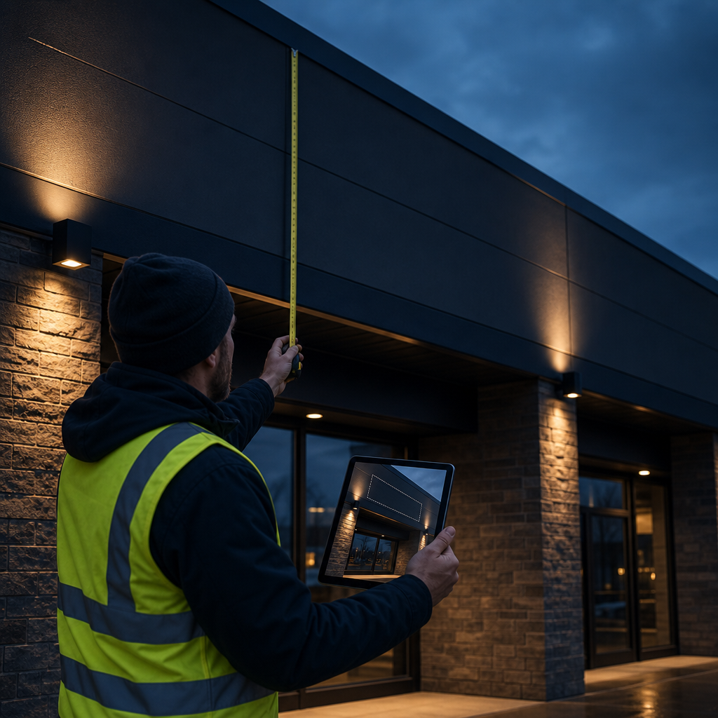
Site surveys and measurement confirm the dimensions, structures, services, visibility, access and compliance conditions affecting a sign. A thorough survey gives designers and manufacturers reliable site data before production begins, reducing the risk of poor fit, installation delays, unsafe work, approval problems and expensive remanufacturing.
For signage projects, measurement is not simply a matter of recording wall width and height. The survey must establish whether the proposed sign can be designed, approved, manufactured, transported, powered and installed in the intended location.
This guide explains what a signage site survey should cover, how measurements are verified and what information decision-makers should expect before approving production.
Key takeaways
A useful signage site survey connects physical measurements with design, engineering, electrical, access and installation requirements. It should identify uncertainty rather than hide it. The resulting survey record must be detailed enough for the project team to make decisions without relying on assumptions or incomplete site photographs.
- Measure the installation surface, surrounding clearances and relevant architectural features.
- Confirm the substrate and supporting structure, not just the visible wall finish.
- Record viewing approaches, obstructions, lighting conditions and competing visual information.
- Investigate electrical supply, concealed services, installation access and public protection requirements.
- Distinguish verified measurements from estimates, inaccessible areas and information requiring specialist confirmation.
- Complete the survey before final design approval and manufacturing documentation are released.
Ready to make your business impossible to miss?
Design, manufacture and installation, all under one roof in Warana.
Get a Free QuoteSummary table
A signage survey should produce decision-ready information rather than a loose collection of dimensions. Each part of the survey answers a different commercial or technical question, from whether the sign will fit to whether installers can reach the mounting position safely.
| Survey area | What is checked | Why it matters |
|---|---|---|
| Dimensions | Wall, fascia, opening, setback, clearance and fixing locations | Prevents poor fit and supports accurate shop drawings |
| Substrate | Visible finish, likely backing material and structural support | Influences fixing design, weight limits and engineering requirements |
| Visibility | Sightlines, approach direction, obstructions and competing signs | Helps determine placement, scale and information hierarchy |
| Electrical | Supply location, isolation, cable path and access constraints | Supports illuminated sign design and electrical planning |
| Installation access | Vehicle position, lifting access, pedestrian movement and work area | Affects installation method, safety planning and cost |
| Compliance | Planning controls, building requirements, accessibility and site rules | Identifies approvals and specialist advice required before installation |
| Survey evidence | Annotated photographs, sketches, measurements and assumptions | Creates a traceable record for designers, manufacturers and installers |
What is a signage site survey?

A signage site survey is a structured inspection of the proposed installation location. It records the physical, visual, structural, electrical and operational conditions that affect the sign. Unlike a general property inspection, it is organised around the information needed to design, manufacture and install a specific signage solution.
The scope depends on the project. A survey for window graphics may focus on glass dimensions, mullions, surface condition, access and visibility. A survey for an illuminated fascia sign may also need to cover wall construction, structural support, cable routes, isolation points and elevated access.
A signage survey is also different from a cadastral or boundary survey. It does not determine legal property boundaries or replace work that must be completed by a registered land surveyor. If a freestanding sign is close to a title boundary, easement or road reserve, the relevant boundary information may need independent confirmation.
Surveying is a project control step
The practical purpose of the survey is to remove avoidable uncertainty before expensive commitments are made. Every unresolved site condition can affect one or more later stages:
- Design may rely on the wrong proportions.
- Engineering may assume an unsuitable supporting structure.
- Manufacturing may proceed with incorrect fixing centres.
- Electrical work may be planned without a viable cable path.
- Installation equipment may arrive without adequate access.
- Approval drawings may show a position that cannot be achieved on site.
A good survey does not guarantee that every concealed condition will be known. It makes the limits of available information explicit and directs further investigation where required.
What should be measured during the survey?
The survey should measure the sign zone and the features that constrain it. That means recording more than the proposed sign face. Relevant information can include overall elevations, openings, edges, joints, projections, clearances, fixing zones, ground levels and relationships to nearby structures.
The installation area
For a wall-mounted sign, the survey should document the usable wall or fascia area. Measurements may be taken from stable architectural reference points rather than decorative elements that could be irregular or replaced.
The record should identify:
- Overall available width and height.
- Distances to corners, rooflines, doors, windows and services.
- Changes in wall depth or surface plane.
- Cladding joints, expansion joints and removable panels.
- Existing holes, brackets, signs or damaged finishes.
- Areas where drilling or fixing may be restricted.
Measurements should be cross-checked where practical. For example, an overall dimension can be compared with the combined dimensions of adjoining wall sections. If the values do not reconcile, the discrepancy should be investigated rather than averaged away.
The sign's relationship to the site
Placement affects whether the sign can be seen and understood. Survey photographs and notes should capture the likely approach from roads, car parks, paths, entrances and internal circulation routes.
Important observations include:
- Trees, awnings, poles and parked vehicles that may block visibility.
- Glare, shadow and background contrast.
- Nearby business signs and other visual competition.
- Traffic direction and pedestrian approach.
- Building identification already present on the site.
- The point at which a visitor needs the information to make a decision.
These observations are not substitutes for measurement. They explain how the measured location functions in practice.
Existing signs and branding elements
If a sign is being replaced, the survey should record its overall size, projection, mounting method and condition. Existing dimensions should not automatically become the dimensions of the replacement. The old sign may be poorly positioned, non-compliant or attached using fixings unsuitable for the new design.
Colour matching also needs care. Photographs are useful references, but camera settings, screen displays, ageing materials and ambient light can alter apparent colour. Physical samples or specified colour systems provide a stronger basis for production decisions.
How is a signage site survey completed?
A reliable survey follows a deliberate sequence: define the proposed sign, review available documents, inspect the site, verify critical measurements and issue a clear record. The process should adapt to the project's risk, access and complexity rather than applying the same checklist to every location.
Define the decision the survey must support
Before attending the site, the surveyor should understand what is being considered. A vague request to "measure for signage" can produce data that is accurate but insufficient.
Useful pre-survey information includes:
- The proposed sign type and approximate position.
- Whether illumination is being considered.
- Available architectural drawings or tenancy plans.
- Landlord, centre management or principal contractor requirements.
- Known planning approval conditions.
- Site access restrictions and induction requirements.
- Whether existing signage will be removed.
Where the design is still open, the survey can identify feasible sign zones rather than measuring only one assumed position.
Establish reference points
Measurements need identifiable origins. A dimension recorded without a clear reference can be interpreted differently by the designer and installer.
Stable reference points may include structural corners, column lines, finished floor levels, window frames or established gridlines. Each should be visible in annotated photographs or sketches. Measurements taken from temporary displays, movable furniture or uneven landscaping are less dependable.
Capture context before detail
Wide photographs establish the building elevation, access route and surrounding environment. Closer photographs then document surfaces, services, fixings and obstructions. This sequence helps another project team member understand where each detail sits.
Photographs should complement written dimensions, not replace them. Perspective distortion can make a wall or panel appear larger, smaller or out of square. An unlabelled photograph is rarely adequate manufacturing evidence.
Verify critical dimensions
The dimensions with the greatest manufacturing or installation consequences deserve independent checks. A tight recess, aligned panel system or fabricated frame can fail if one controlling dimension is wrong.
Verification may involve measuring from a different direction, checking diagonals, comparing related dimensions or using another suitable instrument. The survey record should retain the verified value and flag any unresolved conflict.
Record conditions and limitations
Some areas may be concealed, unsafe to access or controlled by another party. Those limitations belong in the survey report.
Clear labels can distinguish:
- Site-verified information.
- Dimensions taken from supplied drawings.
- Approximate observations.
- Proposed positions awaiting approval.
- Concealed conditions requiring opening-up work.
- Structural matters requiring engineering assessment.
- Electrical matters requiring a licensed electrician.
This is more useful than presenting every note with equal certainty.
Which measurement tools and methods are appropriate?
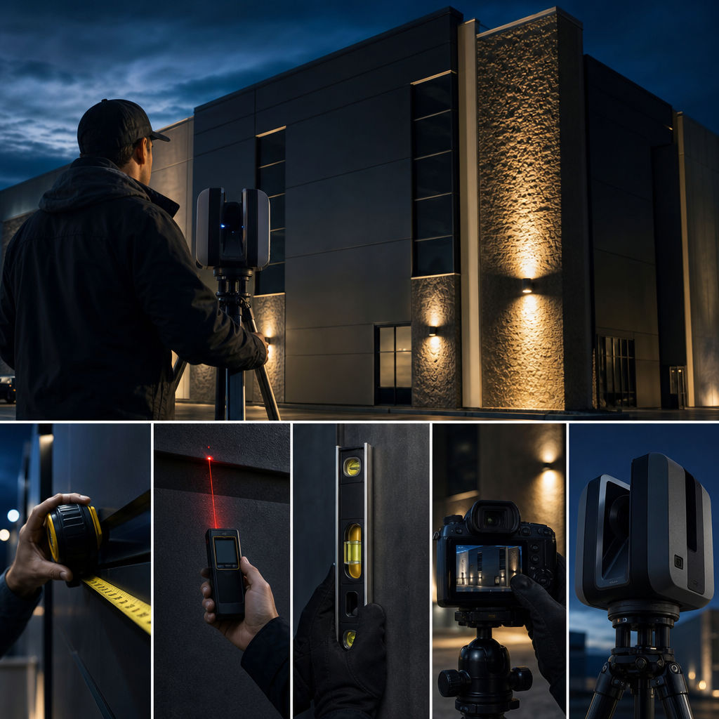
The appropriate method depends on distance, access, required accuracy, surface geometry and environmental conditions. Tape measures, laser distance meters, levels, cameras and digital capture tools can all be useful. None removes the need to confirm reference points, instrument limitations and the purpose of each measurement.
Manual measurement
A quality tape measure remains useful for short distances, component details and verification. It allows the surveyor to see exactly where each measurement begins and ends. Its limitations become apparent across long spans, obstructed areas or elevated positions.
Tape tension, sag, angled measurement and inaccessible endpoints can introduce error. Recording an exact-looking value does not make the method reliable if the tape was not aligned with the intended plane.
Laser distance measurement
A laser distance meter can improve access to long or elevated spans. It is useful when both endpoints are visible and the instrument can be positioned correctly.
Reflective glass, bright conditions, dark surfaces, obstructions and an unstable measuring position can affect usability. The device may also measure a sloping line when the project needs a true horizontal or vertical dimension. Critical results should be checked against related measurements.
Levels and alignment tools
A building that appears square may not be square. Levels and alignment tools help identify sloping fascias, uneven ground, inconsistent ceiling lines and surfaces outside the intended plane.
This matters when a sign must align with architecture. The design team needs to know whether it should follow an existing visual line or remain level despite surrounding irregularity.
Digital capture and scan-based methods
Digital capture can be valuable for complex elevations, irregular structures and projects where many coordinated points are required. It can create a richer spatial record than isolated manual dimensions.
It is not automatically the best method for every sign. Data still needs to be registered, interpreted and connected to the manufacturing coordinate system. Reflective, transparent or moving surfaces may also require special treatment. A sophisticated dataset with unclear control points can be less useful than a careful measured sketch.
Photographic scaling
Photographs can support measurement when they include a known reference and are captured with appropriate alignment. They should not be treated as precise scale drawings without accounting for perspective and lens distortion.
For production-critical dimensions, direct measurement or properly controlled digital capture is preferable. Photographic scaling is best treated as supporting evidence or a way to estimate early design feasibility.
How do substrate, structure and concealed services affect the survey?
The visible wall finish does not necessarily reveal what will hold the sign. A survey should identify the apparent substrate, likely supporting structure and uncertainty behind the surface. Fixing design may require architectural records, exploratory work or engineering input before manufacturing and installation can proceed safely.
Surface finish is not structural support
Cladding, render, tiles, plasterboard and decorative panels may conceal masonry, framing, cavities or waterproofing systems. The outer finish may not be suitable for carrying sign loads.
The survey should document visible joints, panel systems, wall thickness clues and accessible construction details. It should not claim certainty about concealed framing without evidence.
Wind exposure, sign projection, weight and mounting configuration can affect structural requirements. The National Construction Code provides Australia's technical framework for building safety and performance, although the exact application to a sign depends on its type, location and relevant state or territory controls. See the Australian Building Codes Board's National Construction Code.
Underground and concealed services
Freestanding signs, footings and new electrical routes can interact with underground services. Before excavation, service information and site-specific locating requirements should be addressed. Before You Dig Australia provides a national referral service for information from participating asset owners, but supplied plans do not remove the need for appropriate on-site risk controls.
For wall-mounted work, concealed electrical, plumbing, fire and communication services may affect drilling. Available drawings, detection methods and controlled investigation should be considered according to the site's risk.
Electrical conditions
An illuminated sign survey should document the apparent supply location, cable route options, access for isolation and any visible switchboard information relevant to planning. Electrical conclusions and regulated work must be handled by appropriately licensed people.
The survey should avoid assumptions such as "power is nearby, so connection will be simple". A nearby light fitting may be on an unsuitable circuit, inaccessible, separately controlled or unavailable for the proposed load.
How do access and safety influence measurement?
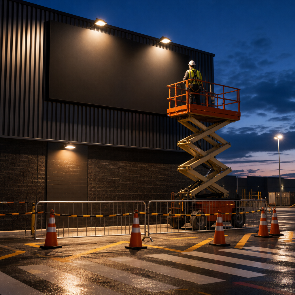
Access conditions affect both the quality of the survey and the eventual installation plan. Measurements should not be obtained through unsafe improvisation. The survey must consider work at height, traffic, pedestrians, ground stability, overhead hazards, site operations and the space required for suitable access equipment.
Safe Work Australia's Model Code of Practice: Managing the Risk of Falls at Workplaces explains the risk management approach for fall hazards. Applicable work health and safety duties depend on the jurisdiction and project arrangements.
Survey access is not always installation access
A person may be able to stand back and measure an elevation without proving that a lifting platform, crane or installation vehicle can reach it. The installation plan needs separate attention.
The survey should consider:
- Entry widths, turning areas and overhead clearances.
- Ground slope, surface strength and underground structures.
- Pedestrian exclusion needs.
- Traffic management requirements.
- Loading dock and delivery restrictions.
- Roof, awning or landscaping obstructions.
- Operating hours and noise constraints.
- Permissions required from landlords or site managers.
These factors can change sign construction. A sign that cannot be transported or lifted as one assembly may need modular manufacture and concealed site joins.
Public-facing environments
Shopping centres, schools, health facilities, transport sites and active workplaces can impose additional controls. Survey work may require induction, supervision, permits or restricted attendance times.
Accessibility must also be considered where signs form part of an accessible path, identify facilities or provide wayfinding. AS 1428.1 sets out general requirements for access and mobility in new building work. Its relevance should be assessed alongside the National Construction Code, project documents and the advice of qualified access professionals where needed.
How long does a site survey take, and what affects cost?
There is no responsible universal duration or price for a signage site survey. Time and cost depend on the number of locations, sign types, travel, access, induction, working-at-height controls, measurement complexity, documentation requirements and whether specialist structural, electrical or locating work is required.
A simple, accessible wall can usually be documented with less effort than a multi-elevation site involving illuminated signs, roof access and traffic control. That does not justify rushing the simple site. A small sign can still require precise measurement if it fits within a tight architectural opening.
Factors that increase survey effort
Common drivers include:
- Multiple buildings or geographically separated sites.
- Restricted access or escorted attendance.
- Elevated, recessed or obstructed sign positions.
- Active roads, car parks or public areas.
- Missing or inconsistent architectural drawings.
- Complex cladding and concealed structure.
- Replacement signs that must reuse existing penetrations.
- Detailed approval or engineering documentation.
- Out-of-hours access requirements.
- A need to coordinate with electricians, engineers or service locators.
The right question is not simply how quickly someone can attend. It is whether the scope allows the surveyor to produce information suitable for the next decision.
What should a site survey report include?
A useful report should let designers, estimators, manufacturers and installers understand the site without guessing what each note means. It normally combines an identified site location, annotated photographs, measured sketches, condition notes, access information, risk flags and a clear distinction between verified facts and assumptions.
Core survey record
The document should identify the building, tenancy or installation area precisely. Large sites may contain repeated elevations or similar entrances, so a street address alone may not be enough.
The record should include:
- Site and sign location identification.
- Survey scope and proposed sign type.
- Measured dimensions with visible reference points.
- Overall and detailed photographs.
- Apparent substrate and structural observations.
- Existing sign and fixing conditions.
- Electrical observations where relevant.
- Access and installation constraints.
- Approval, landlord or site-control requirements raised during inspection.
- Unverified areas, assumptions and recommended follow-up actions.
Information prepared for shop drawings
Survey information should be converted into coordinated shop drawings before manufacture. The drawing should show the sign's dimensions, materials, construction, graphics, illumination, mounting details and relationship to the measured building features.
Survey photographs are not substitutes for approved drawings. Likewise, an approved visual mock-up may communicate appearance without containing enough detail for fabrication. Each document serves a different purpose.
Version control
Sites can change between survey and installation. Building works may alter finishes, services, access or levels. Survey records and drawings should therefore carry clear dates and revision status.
If the site changes, the project team should assess whether remeasurement is required. Using superseded information because production has already started simply moves the risk downstream.
Survey certainty should drive the design freeze
The strongest project control is to classify survey information by certainty before final design approval. Dimensions that directly control fit, fixing or alignment should not be treated like general context. If a critical condition remains inaccessible or unverified, the design should accommodate adjustment or wait for confirmation.
This is the part many generic surveying guides miss. Measurement quality is not only about instrument accuracy. It is about the commercial consequence of being wrong.
Consider a hypothetical fascia sign positioned within a tight recess. The recess width, wall plane and fixing zone directly control manufacture. The distant car park dimensions provide useful installation context but do not control the fabricated cabinet. Giving both sets of information the same status obscures the real risk.
A practical certainty framework separates information into these categories:
- Production-critical: Controls fabricated size, hole position, alignment or structural interface.
- Installation-critical: Controls access, lifting, assembly sequence or public protection.
- Design-context: Informs visibility, proportion, colour and placement.
- Approval-dependent: Cannot be finalised until the owner, council or another authority responds.
- Specialist-dependent: Requires engineering, electrical, access or service-location advice.
- Unverified: Based on drawings, visual assessment or inaccessible conditions.
This framework leads to better decisions. Production-critical uncertainty should trigger verification, design tolerance or an adjustable detail. It should never disappear inside a general note stating that dimensions must be checked on site.
Common site survey mistakes to avoid
Most survey failures are not caused by a lack of measuring tools. They happen when the wrong area is measured, reference points are unclear, concealed conditions are assumed or site information is not connected to design and installation decisions. A disciplined scope prevents these avoidable gaps.
Measuring only the proposed sign face
A sign can fit the measured wall and still fail during installation because the access route, mounting structure or electrical path was ignored. The survey should follow the sign's full journey from delivery to final connection.
Trusting supplied drawings without verification
Architectural drawings are valuable, but they may show design intent rather than final construction. Fit-out changes, undocumented services and altered finishes can make them unreliable for fabrication. The report should identify which dimensions came from drawings and which were checked on site.
Using photographs as dimensions
A photograph provides context. It does not establish scale unless it has been deliberately controlled. Perspective and lens distortion are particularly risky around building corners and elevated fascias.
Recording numbers without reference points
"Sign starts from left edge" is ambiguous if the elevation has several edges, columns or cladding returns. Annotated images and sketches should show the exact origin and direction of each controlling measurement.
Assuming the wall can carry the sign
Visible masonry, cladding or render does not confirm the condition or capacity of the supporting structure. Where structural performance matters, engineering evidence may be required.
Ignoring installation and maintenance
A sign may be installable but difficult to service. Illuminated signs need consideration of future access to power supplies, lighting components and fixings. Surveying for the entire sign lifecycle can prevent avoidable disruption later.
When should the survey happen?
The initial survey should occur early enough to guide concept design and budgeting, while final verification should be completed before production-critical drawings are released. Complex projects may need more than one attendance because access, demolition, approvals or building work can reveal conditions that were previously concealed.
An early feasibility survey can identify viable sign zones, likely access methods and obvious compliance constraints. It may rely on some preliminary assumptions because the design has not been resolved.
A later production survey checks the dimensions and interfaces controlling manufacture. If an existing sign must be removed before the substrate can be inspected, the project programme should allow for that investigation rather than assuming the concealed wall is suitable.
The site should also be rechecked when material changes occur after surveying. Relevant changes include new cladding, altered landscaping, revised tenancy boundaries, changed electrical work or restricted vehicle access.
Planning a survey with Sunquest Signs
Before requesting a survey, gather the site address, contact details, proposed sign types, available drawings, approval information and access rules. Clear information helps define the required survey scope. For project-specific advice, visit the Sunquest Signs contact page and discuss the site before design or manufacturing commitments are made.
The survey brief should explain what decision follows the inspection. Is the project at feasibility, quotation, approval, engineering or production stage? The expected deliverable changes accordingly.
Where possible, also provide:
- Brand guidelines and artwork status.
- Photographs of the building and proposed locations.
- Details of existing signs to be removed or reused.
- Landlord or centre management criteria.
- Known council correspondence.
- Construction programme and site handover status.
- Any induction, permit or escort requirements.
A well-defined brief makes the survey more focused. It also makes exclusions visible before they become project problems.
References
- Australian Building Codes Board, National Construction Code
- Before You Dig Australia
- Safe Work Australia, Model Code of Practice: Managing the Risk of Falls at Workplaces
- Standards Australia, Standards catalogue
Talk to a signage expert
Tell us about your project and we'll come back with options and honest advice.
Get in TouchFrequently Asked Questions
Is a site survey necessary if architectural drawings are available?
Usually, yes. Architectural drawings may not reflect final construction, later alterations or current access conditions. A signage survey verifies the dimensions and site interfaces that directly affect the proposed sign.
Can signage be manufactured before the final site measurement?
It can be risky where the sign must align with existing architecture, reuse fixings or fit within a restricted space. Production-critical information should be verified, or the design should include a deliberate means of adjustment.
Does a signage site survey include structural engineering?
Not automatically. A survey can record visible construction and relevant site conditions for an engineer, but it should not claim structural capacity without appropriate evidence.
Who checks for underground services before a freestanding sign is installed?
Responsibility depends on the project arrangements, but underground service risk must be addressed before excavation. Before You Dig Australia can provide plans from participating asset owners, and further locating may be required.
What happens if part of the site cannot be accessed?
The inaccessible area should be identified as unverified. The report should explain the limitation, the uncertainty it creates and whether another visit, specialist access, investigation or an adjustable design is required.
Related Articles
Sign materials comparison guide
Sunshine Coast Signage Project Gallery: Real Local Sign Installs by Suburb and Sign Type
Signage in Caboolture: Sign Options for CBD, Morayfield and Industrial Businesses, Council Rules and Costs
Signs that set you apart
Over 40 years on the Sunshine Coast. Design, compliance, manufacture and installation handled end to end.
Get a Free Quote